
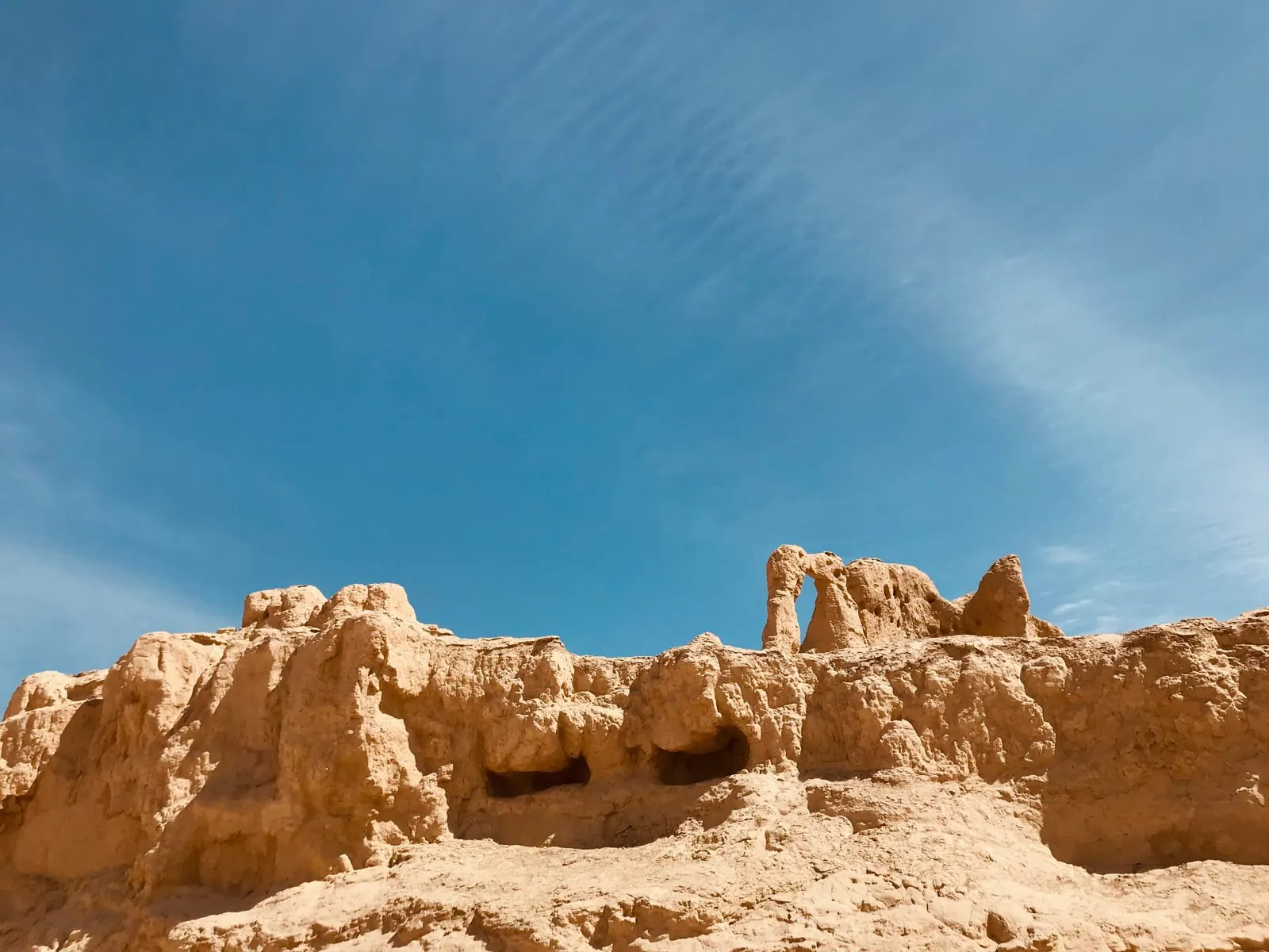
Turpan
吐鲁番 · Tǔlǔfān
A Silk Road oasis below sea level: the ruined cities of Jiaohe and Gaochang, Bezeklik’s cave murals, Karez wells and grape valleys.
Photo: Hiroooooo · CC BY-SA 3.0
Xinjiang is not in the 240-hour visa-free transit area: you need a visa or another visa-free entry that covers your stay. Carry your passport at all times for ID checks at hotels, stations and sights. Summer days often pass 40 °C.
Best time to visit
- Jan
- Feb
- Mar
- Apr
- May
- Jun
- Jul
- Aug
- Sep
- Oct
- Nov
- Dec
From the airport or station to the city
Where you land, the ways into the city centre, how long each takes and what it costs.
From Turpan North Station (high-speed rail)
吐鲁番北站
From Turpan Jiaohe Airport (TLQ)
吐鲁番交河机场
From Urumqi by road
乌鲁木齐
From Turpan Station (conventional trains, Daheyan)
吐鲁番站
Getting around
Turpan’s sights are spread across the oasis: the Emin Minaret, museum and Karez sites are within 10 km of the centre, Jiaohe is 10 km west, but Gaochang, Astana, Bezeklik, the Flaming Mountains and Tuyoq are 40–70 km east, and the Kumtag Desert is next to Shanshan town, about 90 km east. Taxis and DiDi work in town; for the eastern sights most people hire a car with a driver for a day (ask your hotel) or join a tour. Carry your passport at all times: there are ID checks at stations, hotels, sights and road checkpoints. Summer is extreme (often above 40 °C from June to August): start at opening time, rest at midday, and carry water and sun protection. Official time is Beijing time, though local life runs about two hours later. Visa: Xinjiang is NOT inside the 240-hour visa-free transit area, so transit visitors cannot travel to Turpan. You can come with a Chinese visa or under the 30-day unilateral visa-free entry if your nationality qualifies.
Top sights
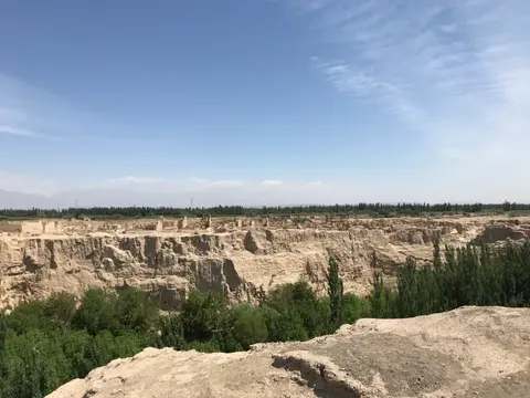 交河故城Jiaohe Ruins (Yarkhoto)A whole ancient city carved down into a narrow loess plateau between two riverbeds, once capital of the Jushi kingdom and a Silk Road garrison town; abandoned in the 14th century and part of the UNESCO Silk Roads World Heritage listing.
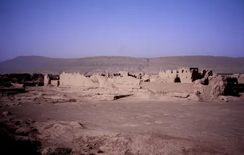 高昌故城Gaochang Ruins (Qocho)The vast mud-brick capital of the Gaochang kingdom and later the Uyghur kingdom of Qocho, a cosmopolitan Silk Road city where Buddhist, Manichaean and Christian communities left traces; a UNESCO World Heritage component.
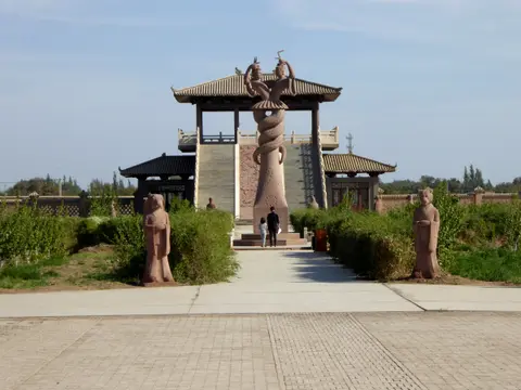 阿斯塔那古墓群Astana TombsThe cemetery of Gaochang’s residents from about the 3rd to the 8th century; the dry climate preserved bodies, silk, paintings and paper documents. A few tombs with wall paintings are open.
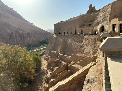 柏孜克里克千佛洞Bezeklik Thousand Buddha CavesBuddhist cave temples cut into a cliff above the Murtuk river gorge in the Flaming Mountains, painted from about the 6th to the 14th century, many under the Uyghur kingdom of Qocho. Many murals were damaged or removed in the early 20th century, and some are now in museums abroad; the surviving paintings are still striking.
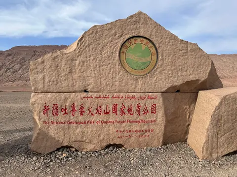 火焰山Flaming MountainsBare red sandstone ridges, furrowed by erosion, that seem to burn in the afternoon sun; famous from the novel Journey to the West. The roadside scenic area has a giant thermometer and statues from the story.
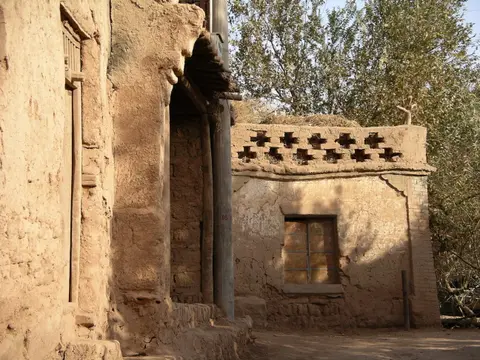 吐峪沟麻扎村Tuyoq Valley and Mazar VillageAn old village of mud-brick houses and vine-drying rooms at the mouth of a gorge in the Flaming Mountains, with early Buddhist caves on the canyon walls and a long-revered hilltop shrine; one of the best-preserved traditional villages in the oasis.
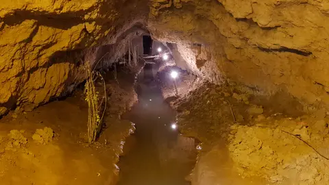 坎儿井民俗园Karez Folk Park (Karez well museum)A museum and walk-through section of a karez, the underground channels that carry snowmelt from the Tianshan foothills to the oasis without evaporating in the desert heat; this ingenious system is why Turpan can grow grapes.
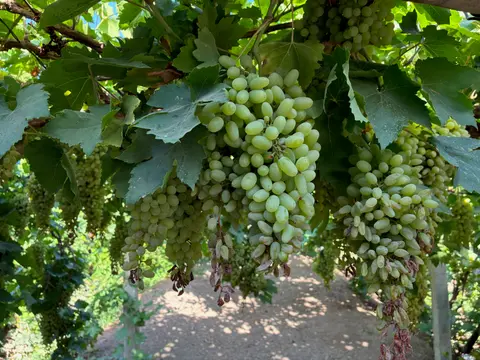 葡萄沟Grape ValleyA green, vine-shaded valley cutting into the Flaming Mountains north-east of the city, lined with vineyards, farm courtyards and raisin-drying houses; at its best during the July–August harvest.
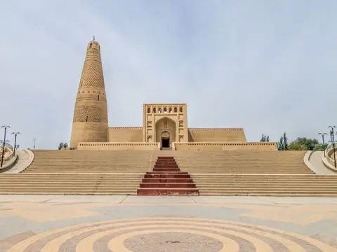 苏公塔Emin Minaret (Sugong Tower)A tapering 44-metre minaret of sun-dried brick laid in fifteen geometric patterns, completed in 1778 and named after the local ruler Emin Khoja; the tallest ancient minaret in China, beside a large old mosque and the vineyards.
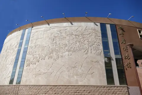 吐鲁番博物馆Turpan MuseumA national first-grade museum with finds from Astana, Jiaohe and Gaochang: documents in many scripts, silk, paintings, preserved bodies, plus giant fossils such as the Paraceratherium, one of the largest land mammals ever.
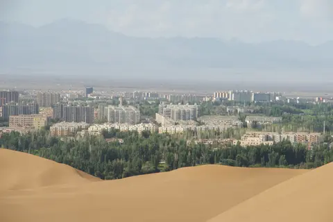 库木塔格沙漠Kumtag Desert (Shanshan)Tall golden dunes rising right at the edge of Shanshan town, a rare place where desert and oasis meet with no gap between; good for sunset walks, camel rides and sand sports.
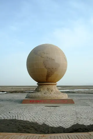 艾丁湖Ayding Lake (China’s lowest point)A mostly dry salt lake about 150 metres below sea level, the lowest point in China and one of the lowest on Earth; a flat, shimmering expanse of salt crust and marker stones rather than open water.
Map
Further out, not on this map: Kumtag Desert (Shanshan)
What to eat here
Find a pharmacy, ATM, food or any shop nearby in Chinese
Places added by travelers
Add a placeFrom other travelers
Write a reviewAsk about this page
Stuck on something? Ask here. Our team answers within 24 hours and emails you the answer.
Questions are public (your email is not). We check them before they appear.
Coming to this page
- Hotels, tickets and experiences you can bookComing soon
Travel guides
Nearby cities
- Dunhuang about 6–7 h incl. transfer · High-speed train
- Korla 3 h–4 h 30 min · Train
- Urumqi 50 min–1 h 15 min · High-speed train
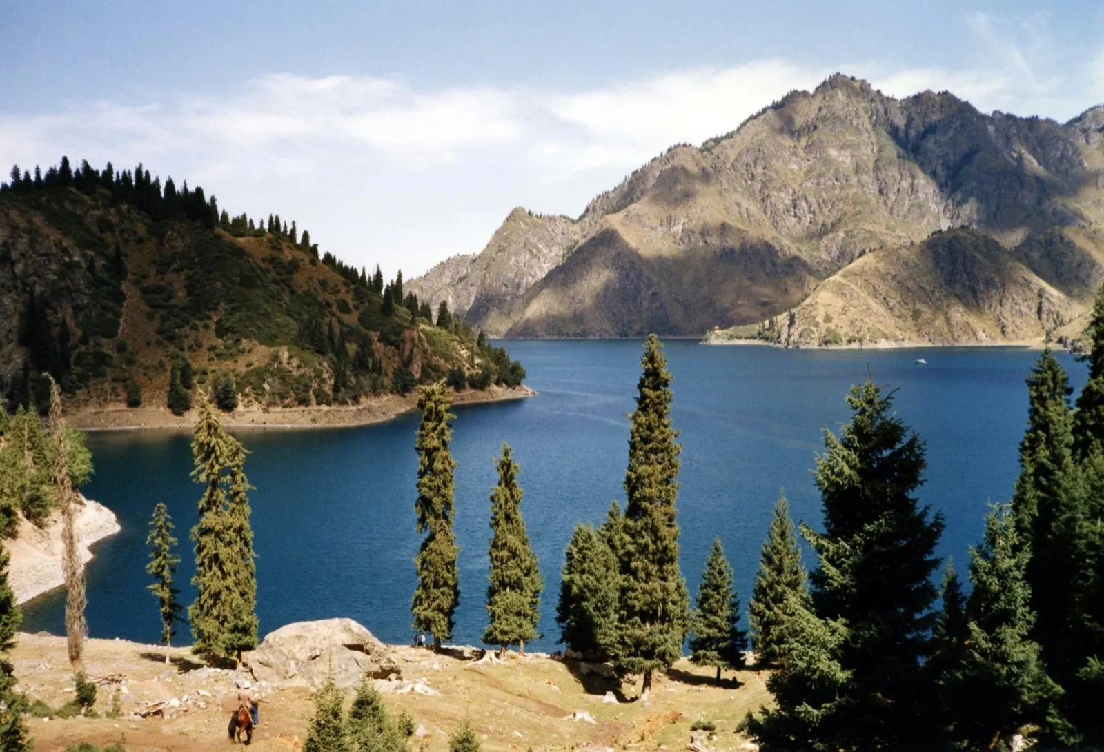 2–3 daysUrumqi乌鲁木齐Xinjiang's capital and hub: the museum's Tarim mummies, the Grand Bazaar, and day trips to Heavenly Lake and the pastures.
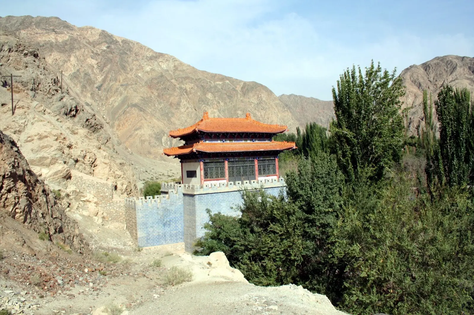 1–2 daysKorla库尔勒Xinjiang's pear city on the Peacock River: Loulan finds, the Iron Gate Pass, Bosten Lake and desert poplar forests.
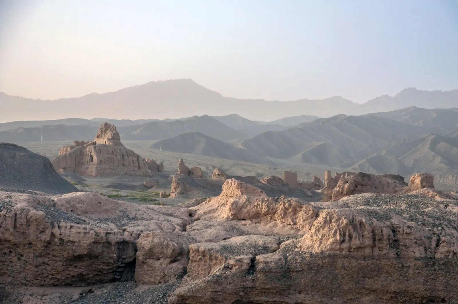 2–3 daysKuqa库车Old Kucha, a Buddhist Silk Road kingdom: Kizil cave murals, Subashi temple ruins, a Han beacon and red-rock canyons.
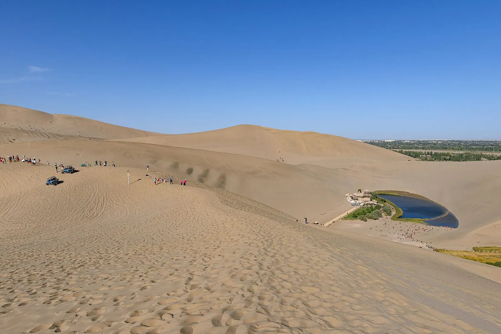 2 daysDunhuang敦煌Mogao Caves murals and the singing sand dunes of the Silk Road.